Maine official hail reports
Filter the rolling two-year archive by date, hail size, and distance using documented NOAA and NWS observations.
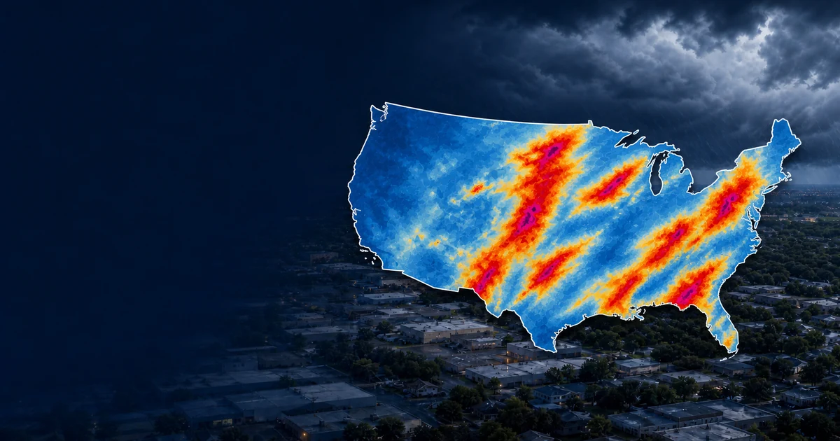
Pins are official NOAA/NWS reports. Final NOAA Storm Events records and recent preliminary NWS/SPC reports are labeled separately. Colored map areas and property matches require a locally cached NOAA MRMS radar estimate and do not confirm building damage.
Choose a state and dates, or enter an address, then search official hail reports.
| Date | Hail | Official wind gust | Distance | Location | Source |
|---|
Enter a street address to view its hail dates.
| Date | Radar estimate at address | Nearest official hail | Report distance | Official location | Official wind |
|---|---|---|---|---|---|
| No address history loaded. | |||||
Commercial and residential records are searched together. Only addresses inside a cached NOAA MRMS radar footprint over 1 inch are shown, and only when that date has a final official NOAA hail report over 1 inch nearby. Addressed public commercial listings are discovered nationwide around a selected event and cached for future searches. Local roof-permit guidance is included when an official city source is available; requirements must be verified with the issuing office before work starts. This is exposure screening, not confirmed property damage.
| Name | Address | Phone | Radar-estimated hail | Nearest final report | Address distance | New roof permit | |
|---|---|---|---|---|---|---|---|
| No matching property records. | |||||||
Loading the ranking method…
| Rank | Date | Cached radar near report | Largest final report | Official location |
|---|---|---|---|---|
| Loading official hail events… | ||||
Maine storm history
Review final NOAA hail records and clearly labeled recent preliminary reports across Maine. Select a date or enter a complete street address to compare nearby official reports with available NOAA MRMS radar-estimated hail. Radar estimates indicate possible exposure and do not prove property damage.
Filter the rolling two-year archive by date, hail size, and distance using documented NOAA and NWS observations.
Enter any property address for an automatic two-year search supported by nearby official reports.
Selected severe events build a persistent NOAA MRMS radar cache in the background and show progress honestly.
These official-report candidates seed the interactive ranking; radar order appears after the event-area cache is ready.